Home
Weather Maps
Tables
Forum
Community
Service
Shop
My AWEKAS
AWEKAS Home
AWEKAS Mobile Home
Data protection
Imprint
Weather overview
Temperature
Air Pressure
Wind
Precipitation
Snow
Webcam
Sun
Dew point
Humidity
Current weather data
Current weather situation
Current weather warnings
Forum overview
News
Help and instructions
Wishes and suggestions
Register new
Memberlist
Member Map
Donations to AWEKAS
Banner and logo
Weather widget
AWEKAS shop
My station panel
Instrument designer
Stationsweb
Change user data
Report your weather
Data import/export
AWEKAS Benutzer:
login
Nearest stations
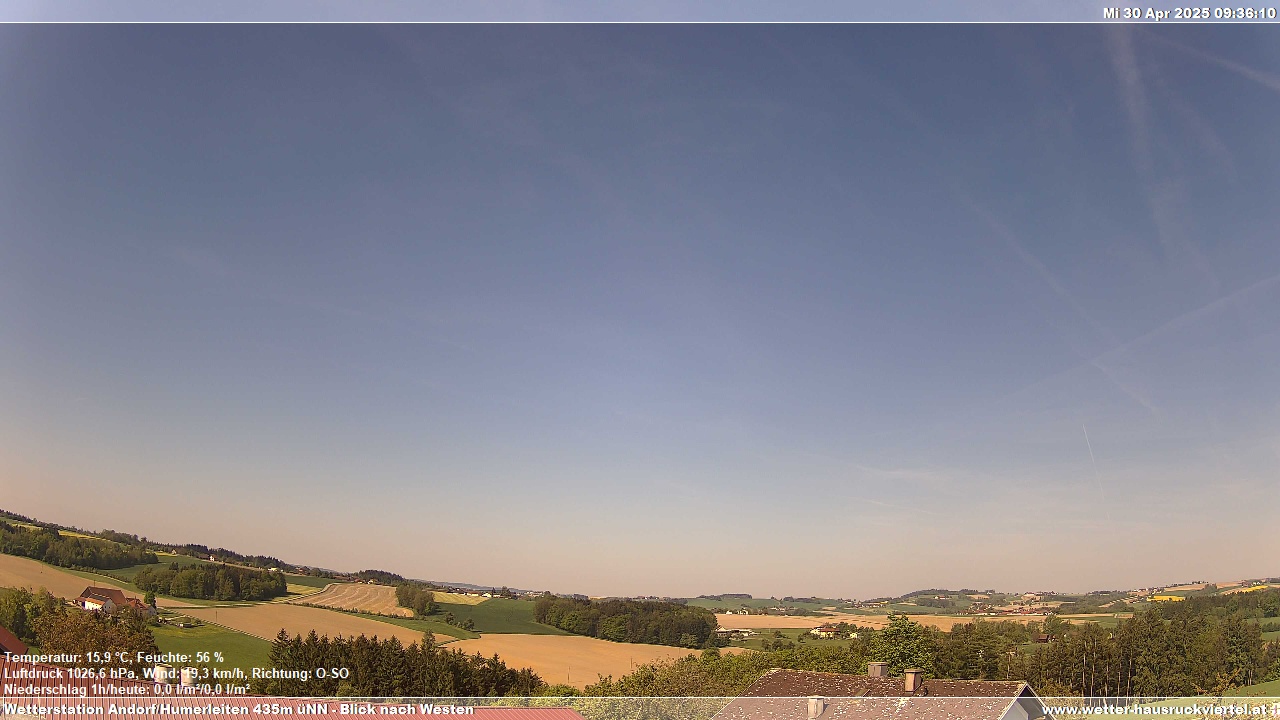
Information for station Andorf-Humerleiten
Andorf
Andorf/Kreilern
Aschenberg
Aspeth
Aurolzm. Schöndorf
Aurolzmuenster
Bad Füssing-Egglfing
Bruck Wippenham
Brunnenthal-Kreuzb.
Bubing
Edenrad
Forchtenau
Fuchshub (OÖ)
Gögging
Haag am Hausruck
Haula (Andorf)
Hauping
Kopfing - Mitteredt
Möswimm
Neukirchen am Walde
Neukirchen-Buchberg
Ort im Innkreis
Peuerbach/Höhenstein
Pram
Pram (Rühring)
Reichersberg
Ried Im Innkreis
Riedau
Schaerding
Schärding
Schärding I
Schatzdorf
Sigharting-Wurmsdobl
St. Roman
St.Willibald
Utzenaich
Wernstein/Stöbichen
Wippenham Sieberting
Station name
Andorf-Humerleiten
Country
Austria
Height above sea level
435 m
Geographical position
13° 33' 52.84'' East / 48° 19' 48.85'' North
Data transfer
WSWIN Direct Link
Last updated
10/7/2025 4:07 am
AWEKAS Plus
YES
AWEKAS id
27149
Stations blog
edit
no station blog available
Information for station
Type of station
Davis Vantage Pro 2 (Plus)
these sensors are in use
count
Temperature
ventilated radiation shield
1
Air Pressure
1
Precipitation
heated
1
Anemometer
mounting height: 39.37 ft
1
UV
1
Solar radiation
1
Soil temperature
1
Link to station website Andorf-Humerleiten
To map
Compare values with adjacent stations
To instrument page of the station
Sponsoring
MEMBERS
18205 Members at this time
13028 stations online
New stations:
Nedre Bäck
Großhau
Plum MF
Brawinkl
Groenedijk
Weather Report
Big Canoe, GA
overcast sky / 65.8°F -
Blue Ridge, GA
fog / 66.4°F -
Current Warnings
no warnings at the moment
Minimum/ Maximum
Temperature
Jimboomba
94.6°F -
Sonnblick
20.8°F -
Wind Speed
Lower Bollihope
44.2 mph - N -
Precipitation
Monheim,Pfingsterfd.
2.1 in -
Visitors today: 2443
currently 71 visitors on AWEKAS
Display Settings
Language
German
English
Dutch
French
Italian
Spanish
Measurement Units
Metric system
American system