Home
Weather Maps
Tables
Forum
Community
Service
Shop
My AWEKAS
AWEKAS Home
AWEKAS Mobile Home
Data protection
Imprint
Weather overview
Temperature
Air Pressure
Wind
Precipitation
Snow
Webcam
Sun
Dew point
Humidity
Current weather data
Current weather situation
Current weather warnings
Forum overview
News
Help and instructions
Wishes and suggestions
Register new
Memberlist
Member Map
Donations to AWEKAS
Banner and logo
Weather widget
AWEKAS shop
My station panel
Instrument designer
Stationsweb
Change user data
Report your weather
Data import/export
AWEKAS Benutzer:
login
Nearest stations
Information for station Hirtzfelden
B.Krozgn-Schmidhofen
Bad Krozingen Nord
Bad Krozingen-Tunsel
Biengen
Biengen (Süd)
Breisach
Buggingen-Seefelden
Eschbach
Hausen a. d. Möhlin
Meyenheim
Müllheim, Zielberg
Müllheim-Flugplatz
Müllheim-Industrie
Neuenburg (Rhein)
Neuenburg am Rhein
Rouffach
Schlatt (Breisgau)
Station name
Hirtzfelden
Country
France
Height above sea level
215 m
Geographical position
7° 26' 56.41'' East / 47° 54' 33.8'' North
Data transfer
WSWIN Direct Link
Last updated
6/23/2025 12:26 am
AWEKAS Plus
YES
AWEKAS id
2381
Stations blog
edit
no station blog available
Information for station
Type of station
Davis Vantage Pro 2 (Plus)
these sensors are in use
count
Temperature
ventilated radiation shield
1
Air Pressure
1
Precipitation
1
Anemometer
mounting height: 22.97 ft
1
Solar radiation
1
Link to station website Hirtzfelden
To map
Compare values with adjacent stations
To instrument page of the station
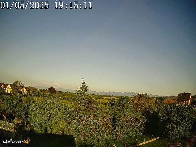
Picture from : 6.1.2025 - 10:29 pm
Sponsoring
MEMBERS
14886 Members at this time
10261 stations online
New stations:
Rittmitz
Pietrapiana
Horstmar Leer
Irrsdorf
Ellerau-Nord
Weather Report
Reichmannsdorf
cloudy / 67.5°F -
Thessaloniki-Center
clear -
Current Warnings
no warnings at the moment
Minimum/ Maximum
Temperature
Austinburg, OH
102.2°F -
Neuquén,Loma Redonda
33.4°F -
Wind Speed
Coronel Pringles
28.2 mph - SW -
Precipitation
Bln-Friedrichsfelde
1.8 in -
Visitors today: 127
currently 23 visitors on AWEKAS
Display Settings
Language
German
English
Dutch
French
Italian
Spanish
Measurement Units
Metric system
American system