Home
Weather Maps
Tables
Forum
Community
Service
Shop
My AWEKAS
AWEKAS Home
AWEKAS Mobile Home
Data protection
Imprint
Weather overview
Temperature
Air Pressure
Wind
Precipitation
Snow
Webcam
Sun
Dew point
Humidity
Current weather data
Current weather situation
Current weather warnings
Forum overview
News
Help and instructions
Wishes and suggestions
Register new
Memberlist
Member Map
Donations to AWEKAS
Banner and logo
Weather widget
AWEKAS shop
My station panel
Instrument designer
Stationsweb
Change user data
Report your weather
Data import/export
AWEKAS Benutzer:
login
Nearest stations
Information for station Rauris-Mitte
Anthering
Bad Gastein
Bad Hofgastein
Böckstein-Anlauftal
Bucheben
Bucheben (Berg)
Großarl
Großarl Zentrum
Kolm Saigurn GS
Rauris
Rauris - Wörth
Rauris Geosphere
Rauris/Hochberg
Sonnblick
St.Johann im Pongau
St.Veit im Pongau
Zell Am See
Station name
Rauris-Mitte
Country
Austria
Height above sea level
943 m
Geographical position
12° 59' 42.83'' East / 47° 13' 44.61'' North
Data transfer
AWEKAS Bridge Direct Link
Last updated
6/26/2025 12:28 am
AWEKAS Plus
YES
AWEKAS id
16099
Stations blog
edit
no station blog available
Information for station
Type of station
Davis Vantage Pro 2 (Plus)
these sensors are in use
count
Temperature
ventilated radiation shield
1
Air Pressure
1
Precipitation
1
Anemometer
mounting height: 19.68 ft
1
UV
1
Solar radiation
1
Soil temperature
4
Soil moisture
4
Leaf wetness
2
To map
Compare values with adjacent stations
To instrument page of the station
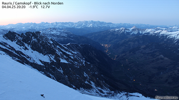
Picture from : 6.26.2025 - 12:00 am
Sponsoring
MEMBERS
15436 Members at this time
10790 stations online
New stations:
Saint-Martin-d'Hères
Almere
Heddesbach
Gransee-West II
Montrieux-en-Sologne
Weather Report
Sibenik-Krvavice
clear / 76.6°F -
Kennewick, WA
clear -
Current Warnings
no warnings at the moment
Minimum/ Maximum
Temperature
Glendale-Westerra,AZ
103.8°F -
Nashdale-M.Canobolas
30.4°F -
Wind Speed
Kaipara Flats
22.1 mph - N -
Precipitation
Benilde St. Margaret
3.8 in -
Visitors today: 111
currently 16 visitors on AWEKAS
Display Settings
Language
German
English
Dutch
French
Italian
Spanish
Measurement Units
Metric system
American system