Home
Weather Maps
Tables
Forum
Community
Service
Shop
My AWEKAS
AWEKAS Home
AWEKAS Mobile Home
Data protection
Imprint
Weather overview
Temperature
Air Pressure
Wind
Precipitation
Snow
Webcam
Sun
Dew point
Humidity
Current weather data
Current weather situation
Current weather warnings
Forum overview
News
Help and instructions
Wishes and suggestions
Register new
Memberlist
Member Map
Donations to AWEKAS
Banner and logo
Weather widget
AWEKAS shop
My station panel
Instrument designer
Stationsweb
Change user data
Report your weather
Data import/export
AWEKAS Benutzer:
login
Nearest stations
Information for station Planina pri Cerknem
Bohinj
entjot nad Horjulo
Ziri
Station name
Planina pri Cerknem
Country
Slovenia
Height above sea level
570 m
Geographical position
14° 0' 50'' East / 46° 7' 41'' North
Data transfer
Davis Weatherlink (HTX Template)
Last updated
9/15/2025 2:08 pm
AWEKAS Plus
YES
AWEKAS id
8901
Stations blog
edit
no station blog available
Information for station
Type of station
Davis Vantage Pro 2 (Plus)
these sensors are in use
count
Temperature
1
Air Pressure
1
Precipitation
1
Anemometer
mounting height: 19.68 ft
1
UV
1
Solar radiation
1
Soil temperature
4
Soil moisture
4
Leaf wetness
2
Link to station website Planina pri Cerknem
To map
Compare values with adjacent stations
To instrument page of the station
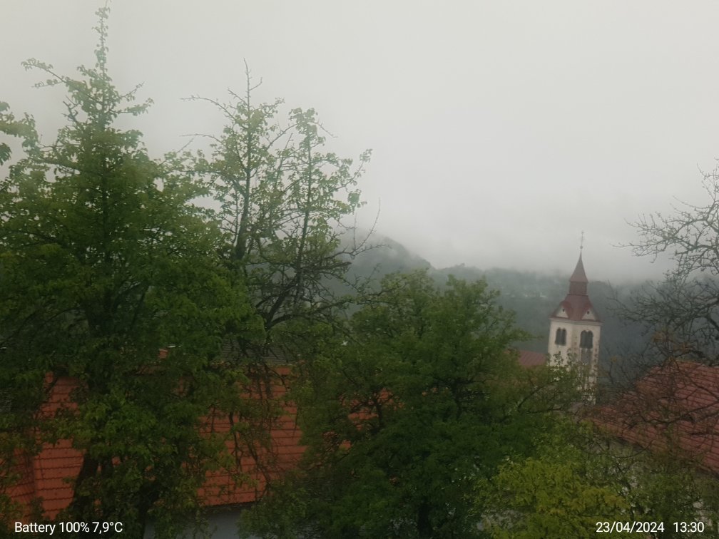
Picture from : 8.2.2014 - 1:43 pm
Sponsoring
MEMBERS
18127 Members at this time
13100 stations online
New stations:
Schortens Ostiem
Mylau
Nedlitz (Zerbst)
Willprechtszell
Maarssen
Weather Report
Big Canoe, GA
overcast sky / 67.5°F -
Halesowen
rain / 54°F -
Current Warnings
no warnings at the moment
Minimum/ Maximum
Temperature
Phoenix-Foothills,AZ
95.7°F -
Zugspitze DWD
22.5°F -
Wind Speed
Poingam MF
32.4 mph - E -
Precipitation
Bellenden Ker
4.4 in -
Visitors today: 1432
currently 37 visitors on AWEKAS
Display Settings
Language
German
English
Dutch
French
Italian
Spanish
Measurement Units
Metric system
American system