Home
Weather Maps
Tables
Forum
Community
Service
Shop
My AWEKAS
AWEKAS Home
AWEKAS Mobile Home
Data protection
Imprint
Weather overview
Temperature
Air Pressure
Wind
Precipitation
Snow
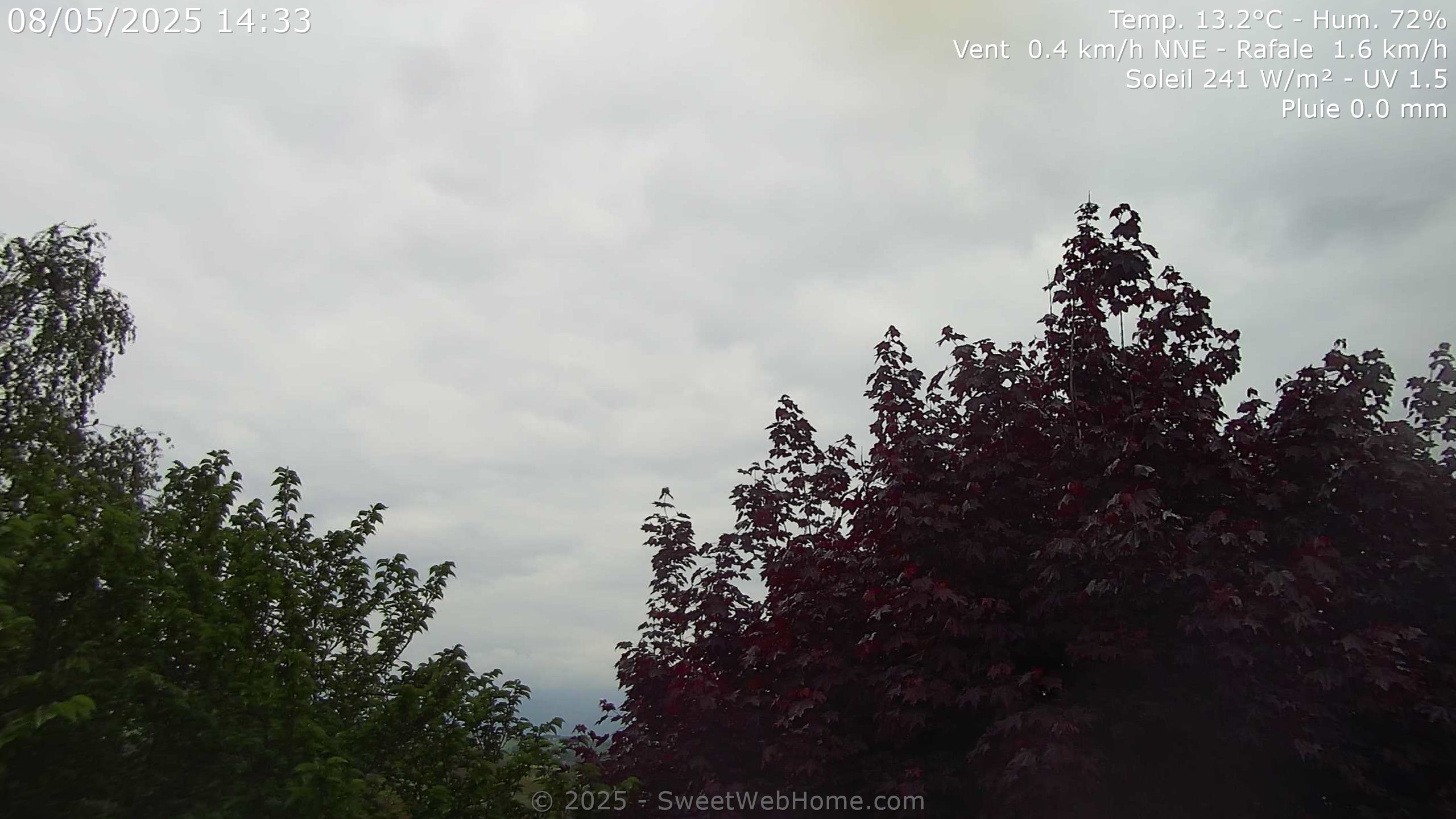
Webcam
Sun
Dew point
Humidity
Current weather data
Current weather situation
Current weather warnings
Forum overview
News
Help and instructions
Wishes and suggestions
Register new
Memberlist
Member Map
Donations to AWEKAS
Banner and logo
Weather widget
AWEKAS shop
My station panel
Instrument designer
Stationsweb
Change user data
Report your weather
Data import/export
AWEKAS Benutzer:
login
Nearest stations
Information for station St-Appolinard, Isère
Chatte
Chatte_sapc MF
Génissieux
Grenoble-st Geoir MF
Serre-nerpol_sapc MF
St-christophe-l_s MF
StEtienneDeStGeoirs
Station name
St-Appolinard, Isère
Country
France
Height above sea level
445 m
Geographical position
5° 16' 4'' East / 45° 11' 27'' North
Data transfer
Weather Display (clientraw.txt)
Last updated
11/22/2025 3:51 pm
AWEKAS Plus
YES
AWEKAS id
5500
Stations blog
edit
no station blog available
Information for station
Type of station
Davis Vantage Pro 2 (Plus)
these sensors are in use
count
Temperature
ventilated radiation shield
1
Air Pressure
1
Precipitation
heated
1
Anemometer
mounting height: 32.81 ft
1
UV
1
Solar radiation
1
Link to station website St-Appolinard, Isère
To map
Compare values with adjacent stations
To instrument page of the station
Sponsoring
MEMBERS
18395 Members at this time
13240 stations online
New stations:
mittebrunen
Uzerche-Labesse2
Niederndodeleben
Reitscheid Ellenwies
Avoch
Weather Report
Cuers
heavy cloud / 45.7°F -
Hartberg / Kroisbach
overcast sky / 34.7°F -
Current Warnings
no warnings at the moment
Minimum/ Maximum
Temperature
Regina MF
90.9°F -
Brunnenkogel / Oetzt
7.2°F -
Wind Speed
Brocken DWD
45.6 mph - S -
Precipitation
Bruck Wippenham
12.6 in -
Visitors today: 7892
currently 51 visitors on AWEKAS
Display Settings
Language
German
English
Dutch
French
Italian
Spanish
Measurement Units
Metric system
American system