Home
Weather Maps
Tables
Forum
Community
Service
Shop
My AWEKAS
AWEKAS Home
AWEKAS Mobile Home
Data protection
Imprint
Weather overview
Temperature
Air Pressure
Wind
Precipitation
Snow
Webcam
Sun
Dew point
Humidity
Current weather data
Current weather situation
Current weather warnings
Forum overview
News
Help and instructions
Wishes and suggestions
Register new
Memberlist
Member Map
Donations to AWEKAS
Banner and logo
Weather widget
AWEKAS shop
My station panel
Instrument designer
Stationsweb
Change user data
Report your weather
Data import/export
AWEKAS Benutzer:
login
Nearest stations
Information for station Saint-Chamond
Bourg-argental MF
Col Republique MF
Grammond_sapc MF
La Valla En Gie MF
Pélussin
Pilat Graix MF
Saint-etienne MF
Saint-Paul-en-Jarez
Sorbiers
St Etienne-bouthe MF
St Symphorien/Coise
St-chamond-p MF
St-symphorien-c MF
St-Symphorien/Coise
Tarentaise MF
Station name
Saint-Chamond
Country
France
Height above sea level
435 m
Geographical position
4° 30' 55.5'' East / 45° 27' 49.6'' North
Data transfer
Cumulus
Last updated
6.12.2025 15:50
AWEKAS Plus
YES
AWEKAS id
5266
Stations blog
edit
no station blog available
Information for station
Type of station
Davis Vantage Vue
these sensors are in use
count
Temperature
1
Air Pressure
1
Precipitation
1
Anemometer
mounting height: 10 m
1
Soil temperature
4
Soil moisture
4
Leaf wetness
2
Link to station website Saint-Chamond
To map
Compare values with adjacent stations
To instrument page of the station
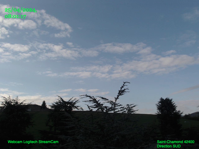
Picture from : 6.12.2025 - 15:38 = local time: 14:38
Sponsoring
MEMBERS
18457 Members at this time
13166 stations online
New stations:
Goedgegewe
Olsbg-Bruchhausen
Schwabenbach
Defiance, MO
Romatschachen
Weather Report
Hartberg / Kroisbach
overcast sky / 7.1°C -
Chatel-Guyon
heavy cloud / 11.5°C -
Current Warnings
no warnings at the moment
Minimum/ Maximum
Temperature
Nonpareil
35.2°C -
Anola, MB
-25.2°C -
Wind Speed
Mont Aigoual MF
81.7km/h - NW -
Precipitation
Velika (Tsarevo)
83.6 l/m² -
Visitors today: 4277
currently 35 visitors on AWEKAS
Display Settings
Language
German
English
Dutch
French
Italian
Spanish
Measurement Units
Metric system
American system