Home
Weather Maps
Tables
Forum
Community
Service
Shop
My AWEKAS
AWEKAS Home
AWEKAS Mobile Home
Data protection
Imprint
Weather overview
Temperature
Air Pressure
Wind
Precipitation
Snow
Webcam
Sun
Dew point
Humidity
Current weather data
Current weather situation
Current weather warnings
Forum overview
News
Help and instructions
Wishes and suggestions
Register new
Memberlist
Member Map
Donations to AWEKAS
Banner and logo
Weather widget
AWEKAS shop
My station panel
Instrument designer
Stationsweb
Change user data
Report your weather
Data import/export
AWEKAS Benutzer:
login
Nearest stations
Information for station Springfield, VA
Woodbridge NW, VA
Station name
Springfield, VA
Country
USA
Height above sea level
73 m
Geographical position
77° 11' 2.8'' West / 38° 47' 23.68'' North
Data transfer
WU Fastlink
Last updated
9/21/2025 7:00 pm
AWEKAS Plus
YES
AWEKAS id
35366
Stations blog
edit
no station blog available
Information for station
Type of station
Ambient Weather WS-2000
these sensors are in use
count
Temperature
1
Air Pressure
1
Precipitation
1
Anemometer
mounting height: 15.09 ft
1
UV
1
Solar radiation
1
To map
Compare values with adjacent stations
To instrument page of the station
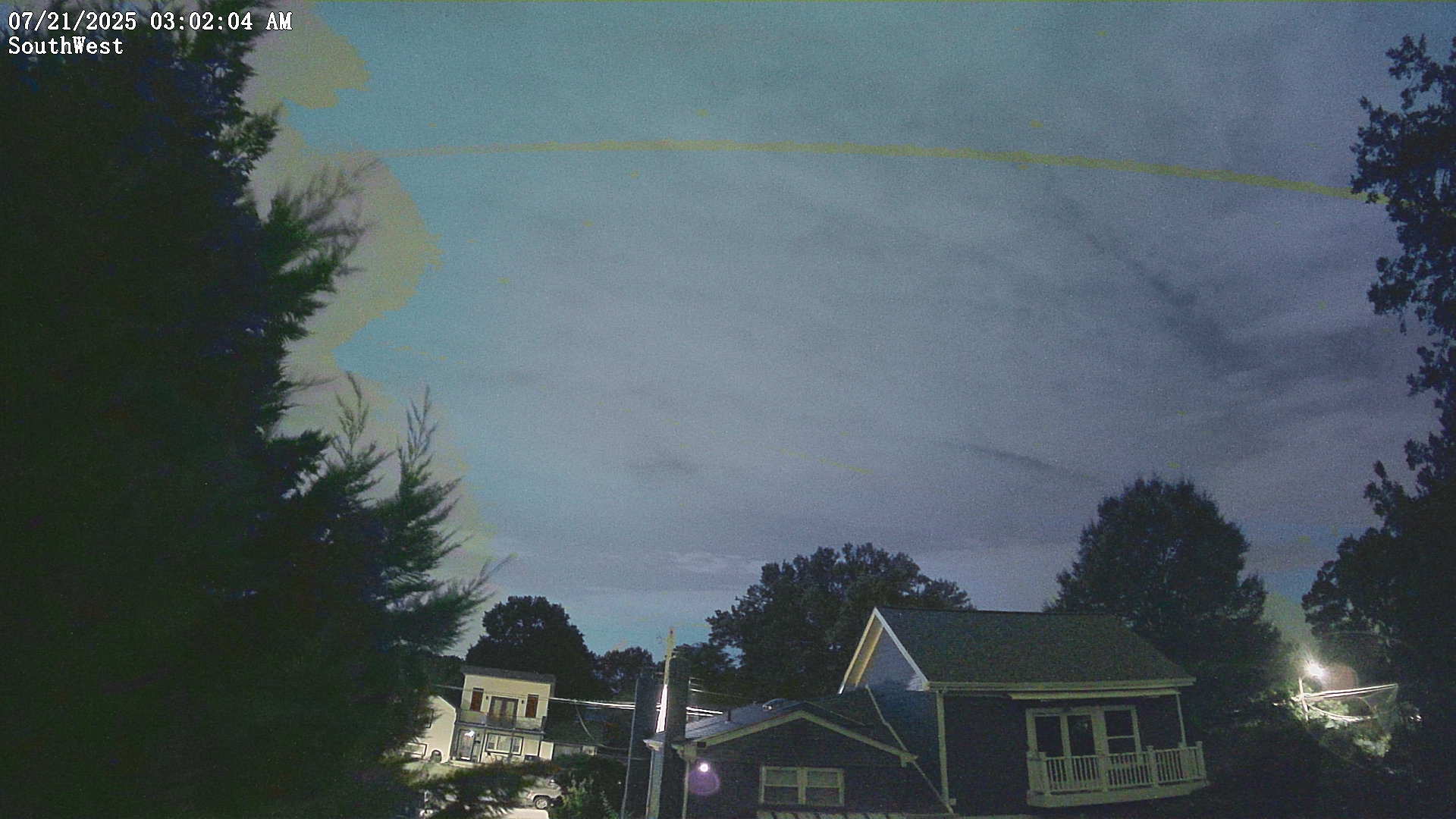
Picture from : 9.21.2025 - 7:00 pm = local time: 1:00pm
Sponsoring
MEMBERS
18149 Members at this time
13197 stations online
New stations:
Hepstedt
Tüngental 2
Tüngental
Macisvenda
Vesdun
Weather Report
Northeast Tucson
thunderstorm / 86.9°F -
Löffelsterz
drizzle / 59.2°F -
Current Warnings
no warnings at the moment
Minimum/ Maximum
Temperature
Ducos MF
94.8°F -
Aiguille Du Midi MF
29.1°F -
Wind Speed
Gütsch MCH
45.2 mph - SE -
Precipitation
Cedar Rapids, IA
9.6 in -
Visitors today: 8926
currently 57 visitors on AWEKAS
Display Settings
Language
German
English
Dutch
French
Italian
Spanish
Measurement Units
Metric system
American system