Home
Weather Maps
Tables
Forum
Community
Service
Shop
My AWEKAS
AWEKAS Home
AWEKAS Mobile Home
Data protection
Imprint
Weather overview
Temperature
Air Pressure
Wind
Precipitation
Snow
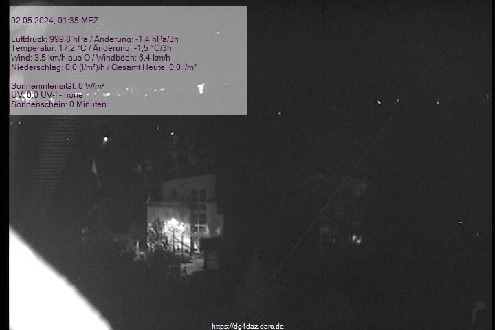
Webcam
Sun
Dew point
Humidity
Current weather data
Current weather situation
Current weather warnings
Forum overview
News
Help and instructions
Wishes and suggestions
Register new
Memberlist
Member Map
Donations to AWEKAS
Banner and logo
Weather widget
AWEKAS shop
My station panel
Instrument designer
Stationsweb
Change user data
Report your weather
Data import/export
AWEKAS Benutzer:
login
Nearest stations
Information for station Lüdenscheid
Balve
Balve (Beggenbeil)
Hagen-Halde
Herscheid-Hüinghsn.
Hohenlimburg
Hönnige
Iserlohn-Genna
Iserlohn-Letmathe
Iserlohn-Nord
Iserlohner Heide
LÜD-Stüttinghausen
Lüdensch-Wettringhof
Lüdenscheid DWD
Lüdenscheid-Wehberg
Meinerzhagen DWD
Meinerzhagen-Valbert
MeinerzhagenSchlenke
Nachrodt
Neuenrade
Plettenberg
Werdohl
Werdohl-Kleinhammer
Werdohl-Süd
Wiblingwerde
Wipperfürth-Dohrgaul
Station name
Lüdenscheid
Country
Germany
Height above sea level
420 m
Geographical position
7° 38' 55'' East / 51° 13' 25'' North
Data transfer
WSWIN Direct Link
Last updated
13.9.2025 10:30
AWEKAS Plus
YES
AWEKAS id
2837
Stations blog
edit
no station blog available
Information for station
Type of station
Davis Vantage Pro 2 (Plus)
these sensors are in use
count
Temperature
1
Air Pressure
1
Precipitation
1
Anemometer
mounting height: 6 m
1
UV
1
Solar radiation
1
Soil temperature
4
Soil moisture
4
Leaf wetness
2
Link to station website Lüdenscheid
To map
Compare values with adjacent stations
To instrument page of the station
Sponsoring
MEMBERS
18103 Members at this time
13172 stations online
New stations:
Enghavegård
Stotzheim
Fuchstal - Leeder 2
Alt-Arnsberg
Guia-San Roque
Weather Report
Reichmannsdorf
partly cloudy / 13.8°C -
Hartberg / Kroisbach
rain / 19.8°C -
Current Warnings
no warnings at the moment
Minimum/ Maximum
Temperature
West Chester, PA
41.3°C -
Aiguille Du Midi MF
-4.2°C -
Wind Speed
Kionia - Tinos
56.5km/h - N -
Precipitation
Bellenden Ker
105.2 l/m² -
Visitors today: 2507
currently 46 visitors on AWEKAS
Display Settings
Language
German
English
Dutch
French
Italian
Spanish
Measurement Units
Metric system
American system