Home
Weather Maps
Tables
Forum
Community
Service
Shop
My AWEKAS
AWEKAS Home
AWEKAS Mobile Home
Data protection
Imprint
Weather overview
Temperature
Air Pressure
Wind
Precipitation
Snow
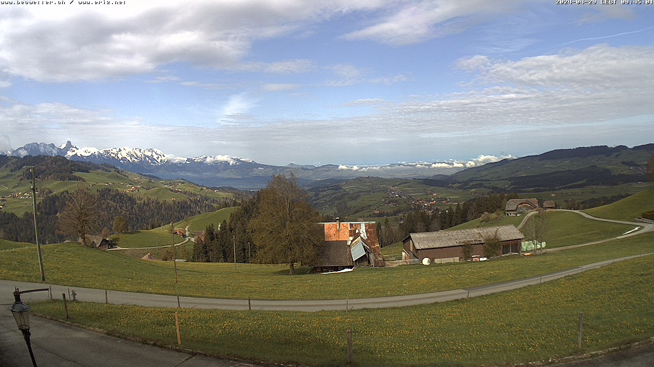
Webcam
Sun
Dew point
Humidity
Current weather data
Current weather situation
Current weather warnings
Forum overview
News
Help and instructions
Wishes and suggestions
Register new
Memberlist
Member Map
Donations to AWEKAS
Banner and logo
Weather widget
AWEKAS shop
My station panel
Instrument designer
Stationsweb
Change user data
Report your weather
Data import/export
AWEKAS Benutzer:
login
Nearest stations
Information for station Eriz
Biglen
Fahrni bei Thun
Grosshöchstetten
Gunten
Hilterfingen
HilterfingenHünibach
Interlaken MCH
Langnau i.E. MCH
Linden, BE
Merligen
Mirchel
Münsingen West
Oberdiessbach
Oberthal BE
Scharnachtal
Schwarzenegg
Thun
Thun MCH
TrubschachenBlapbach
Wimmis
Station name
Eriz
Country
Switzerland
Height above sea level
1135 m
Geographical position
7° 44' 35.89'' East / 46° 47' 26.47'' North
Data transfer
WSWIN Direct Link
Last updated
5/15/2024 2:40 pm
AWEKAS Plus
YES
AWEKAS id
1879
Stations blog
edit
no station blog available
Information for station
Type of station
Davis Vantage Pro 2 (Plus)
these sensors are in use
count
Temperature
ventilated radiation shield
1
Precipitation
heated
1
Anemometer
mounting height: 39.37 ft
1
UV
1
Solar radiation
1
Soil temperature
4
Soil moisture
4
Leaf wetness
2
Link to station website Eriz
To map
Compare values with adjacent stations
To instrument page of the station
Sponsoring
MEMBERS
18442 Members at this time
13214 stations online
New stations:
Burtenbach
Wien-Schmelz 2
Minervino di Lecce
Castle Pines, CO
Fürstenwalde Südwest
Weather Report
Viviers
heavy cloud / 45.1°F -
Albertville
heavy cloud / 45.9°F -
Current Warnings
no warnings at the moment
Minimum/ Maximum
Temperature
Skemerhoek (Akanous)
95.5°F -
Anola, MB
-1.7°F -
Wind Speed
Le Dramont MF
43.4 mph - E -
Precipitation
Kawerau
3.5 in -
Visitors today: 3202
currently 43 visitors on AWEKAS
Display Settings
Language
German
English
Dutch
French
Italian
Spanish
Measurement Units
Metric system
American system