Home
Weather Maps
Tables
Forum
Community
Service
Shop
My AWEKAS
AWEKAS Home
AWEKAS Mobile Home
Data protection
Imprint
Weather overview
Temperature
Air Pressure
Wind
Precipitation
Snow
Webcam
Sun
Dew point
Humidity
Current weather data
Current weather situation
Current weather warnings
Forum overview
News
Help and instructions
Wishes and suggestions
Register new
Memberlist
Member Map
Donations to AWEKAS
Banner and logo
Weather widget
AWEKAS shop
My station panel
Instrument designer
Stationsweb
Change user data
Report your weather
Data import/export
AWEKAS Benutzer:
login
Nearest stations
Information for station Wiesthal im Spessart
Biebergemünd-Lützel
Fellen/Ufr.
Frammersbach
Gemünden am Main
Haibach
Hösb.-Schmerlenbach
Hösbach
Hösbach-Bahnhof
Lohr/Main-Halsbach D
Lohr/Main-Lindig
Neuhütten DWD
Wiesen
Wiesthal
Station name
Wiesthal im Spessart
Country
Germany
Height above sea level
250 m
Geographical position
9° 25' 51.75'' East / 50° 1' 58.45'' North
Data transfer
WU Fastlink
Last updated
11/4/2025 1:27 pm
AWEKAS Plus
YES
AWEKAS id
18298
Stations blog
edit
no station blog available
Information for station
Type of station
dnt WeatherScreen PRO DNT000008
these sensors are in use
count
Temperature
1
Air Pressure
1
Precipitation
1
Anemometer
mounting height: 16.4 ft
1
UV
1
Solar radiation
1
Soil temperature
4
Soil moisture
4
Leaf wetness
2
To map
Compare values with adjacent stations
To instrument page of the station
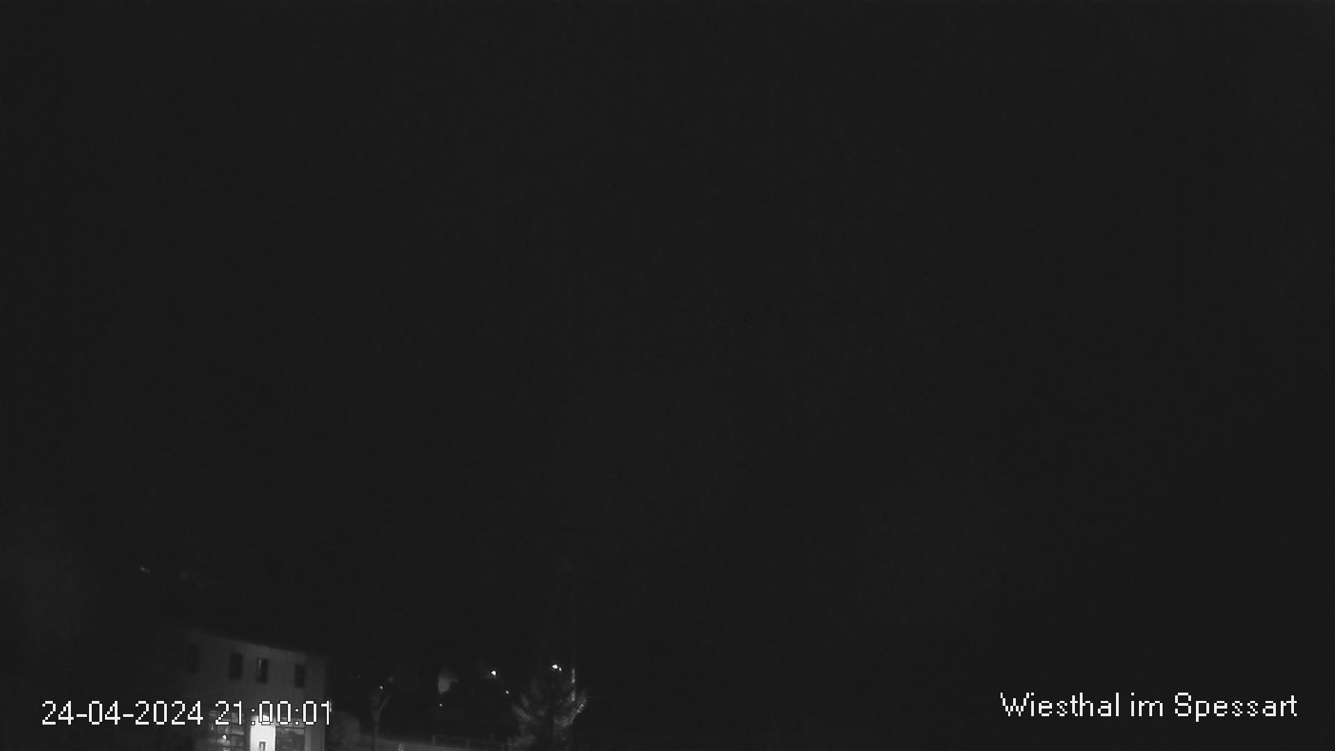
Picture from : 11.4.2025 - 1:28 pm = local time: 12:28pm
Sponsoring
MEMBERS
18308 Members at this time
13233 stations online
New stations:
Schwabach Süd
Sant Cugat
Fuerth
Moosburg an der Isar
Menslage
Weather Report
Cuers
cloudy / 71.2°F -
Sibenik-Krvavice
clear / 65.8°F -
Current Warnings
no warnings at the moment
Minimum/ Maximum
Temperature
Rahat-Shoval
94.3°F -
Edmonton, AB
20.8°F -
Wind Speed
Iraty Orgambide MF
47.7 mph - S -
Precipitation
Graus
2.3 in -
Visitors today: 3390
currently 45 visitors on AWEKAS
Display Settings
Language
German
English
Dutch
French
Italian
Spanish
Measurement Units
Metric system
American system