Home
Weather Maps
Tables
Forum
Community
Service
Shop
My AWEKAS
AWEKAS Home
AWEKAS Mobile Home
Data protection
Imprint
Weather overview
Temperature
Air Pressure
Wind
Precipitation
Snow
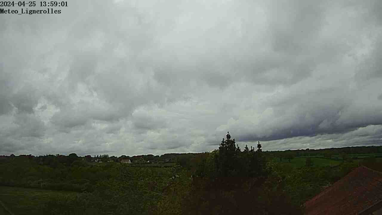
Webcam
Sun
Dew point
Humidity
Current weather data
Current weather situation
Current weather warnings
Forum overview
News
Help and instructions
Wishes and suggestions
Register new
Memberlist
Member Map
Donations to AWEKAS
Banner and logo
Weather widget
AWEKAS shop
My station panel
Instrument designer
Stationsweb
Change user data
Report your weather
Data import/export
AWEKAS Benutzer:
login
Nearest stations
Information for station Lignerolles-Allier
Chambonchard MF
Durdat-larequille MF
Montlucon MF
Villebret
Station name
Lignerolles-Allier
Country
France
Height above sea level
309 m
Geographical position
2° 35' 21'' East / 46° 17' 32'' North
Data transfer
Davis Weatherlink IP
Last updated
14.10.2025 23:10
AWEKAS Plus
YES
AWEKAS id
11162
Stations blog
edit
Information for station
Type of station
Davis Vantage Vue
these sensors are in use
count
Temperature
1
Air Pressure
1
Precipitation
1
Anemometer
mounting height: 2 m
1
Link to station website Lignerolles-Allier
To map
Compare values with adjacent stations
To instrument page of the station
Sponsoring
MEMBERS
18232 Members at this time
13174 stations online
New stations:
St-martin Marigot MF
Wurdach
smaragdstraat 50
Schloßberg
Salzburg Itzling
Weather Report
Harstad-Høghaugen
light rain / 7.1°C -
Sibenik-Krvavice
clear / 12.6°C -
Current Warnings
no warnings at the moment
Minimum/ Maximum
Temperature
Spring 2, TX
33.5°C -
Brunnenkogel / Oetzt
-5.8°C -
Wind Speed
Chasseral MCH
43.9km/h - E -
Precipitation
Cap Sagro MF
105.7 l/m² -
Visitors today: 6068
currently 21 visitors on AWEKAS
Display Settings
Language
German
English
Dutch
French
Italian
Spanish
Measurement Units
Metric system
American system