
|
Country
Austria
 Height above sea level
893 m
13° 24' 27.31'' East / 47° 29' 41.78'' North
Data transfer
WSWIN Direct Link
Last updated
10.7.2026 02:40
AWEKAS Plus
YES
AWEKAS id
30211
|
|---|

|
||||
|---|---|---|---|---|
|
Information for station
Type of station
TFA Nexus
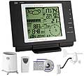 these sensors are in use count
Temperature ventilated radiation shield 1 Precipitation 1 Anemometer mounting height: 4 m 1 Soil temperature 1
|
|---|
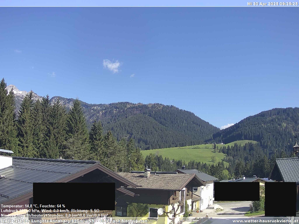
Picture from : 10.7.2026 - 02:45
|
|---|