
|
Country
 Height above sea level
m
° ' '' East / ° ' '' North
Data transfer
Last updated
28.6.2026 02:40
AWEKAS Plus
NO
AWEKAS id
22005
|
|---|

|
||||
|---|---|---|---|---|
|
Information for station
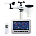
Type of station
Froggit HP1000SE PRO
 these sensors are in use count
Temperature 1 Air Pressure 1 Precipitation 1 Anemometer mounting height: 6 m 1 UV 1 Solar radiation 1
|
|---|