
|
Country
Italy
 Height above sea level
300 m
12° 15' 55.18'' East / 42° 26' 27.59'' North
Data transfer
Cumulus MX Direct Link
Last updated
12.10.2023 07:45
AWEKAS Plus
NO
AWEKAS id
20451
|
|---|

|
||||
|---|---|---|---|---|
|
Information for station
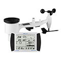
Type of station
PCE-FWS 20N
 these sensors are in use count
Temperature 1 Air Pressure 1 Precipitation 1 Anemometer mounting height: 10 m 1
|
|---|